|
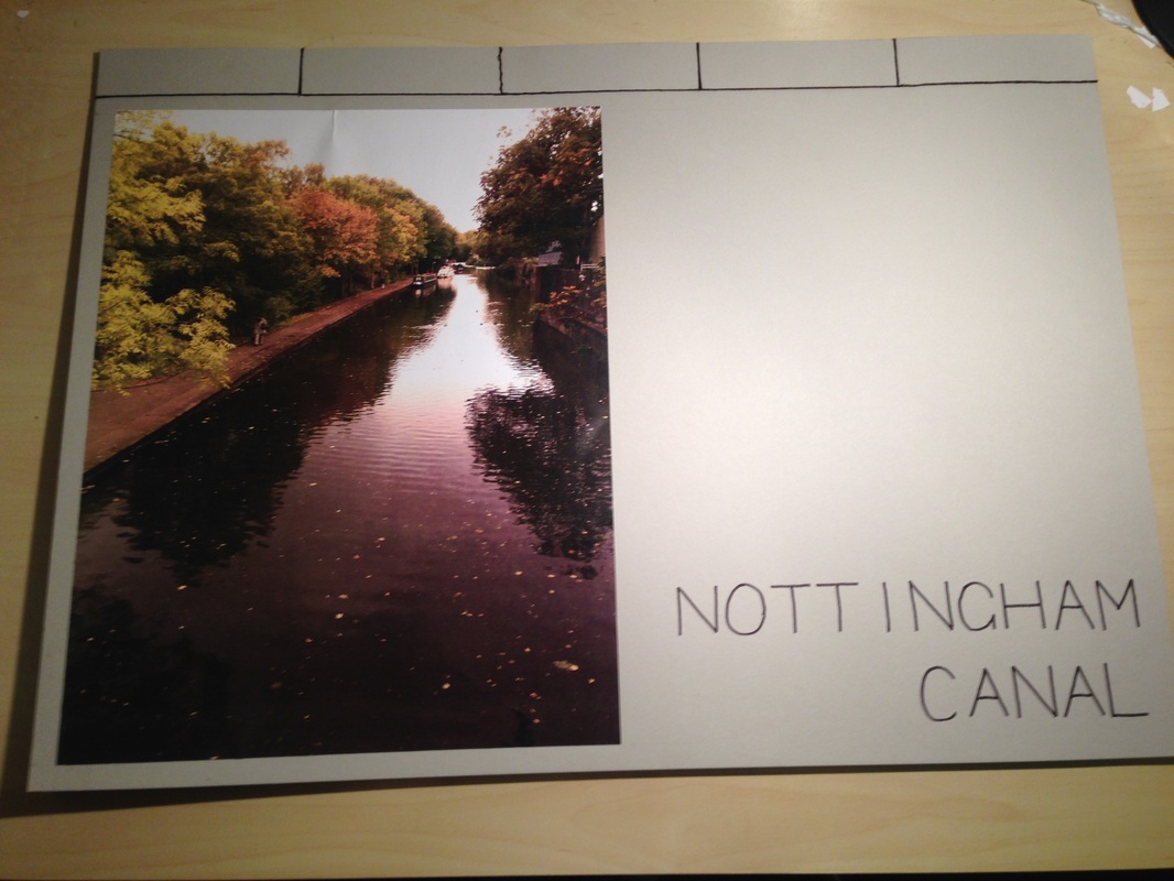
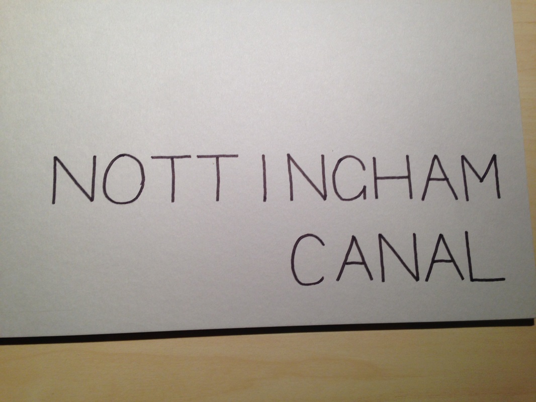
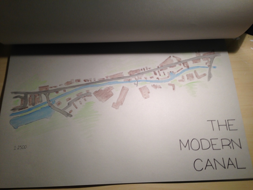
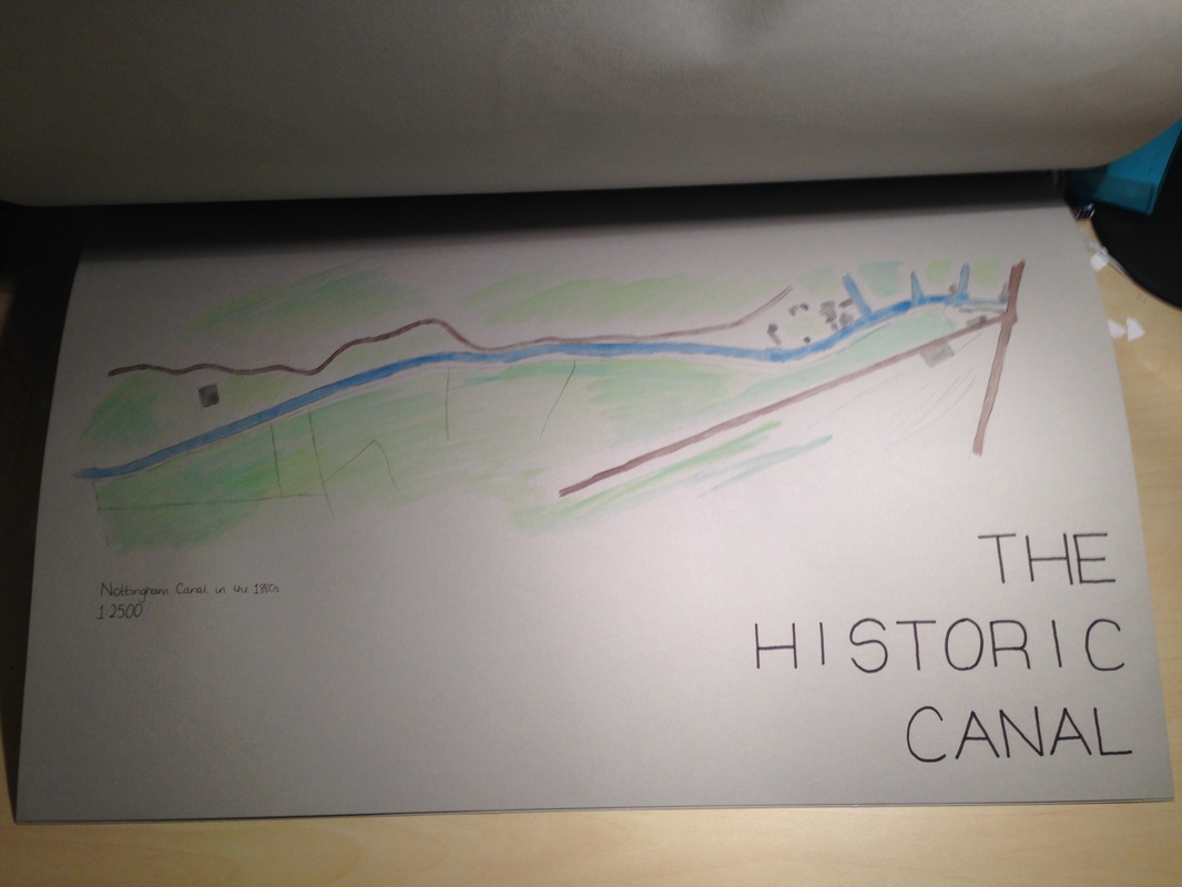
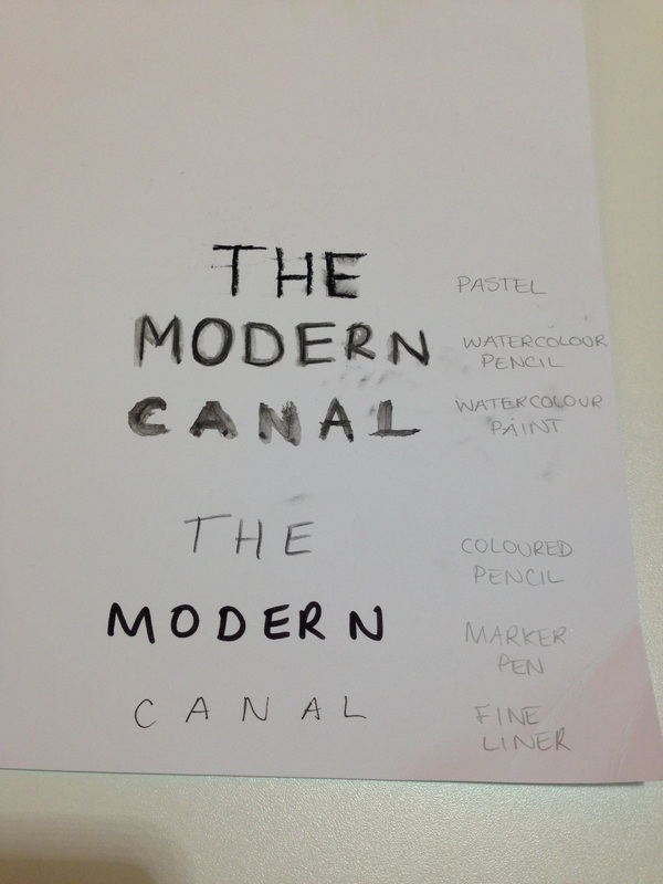
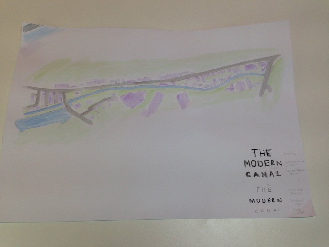
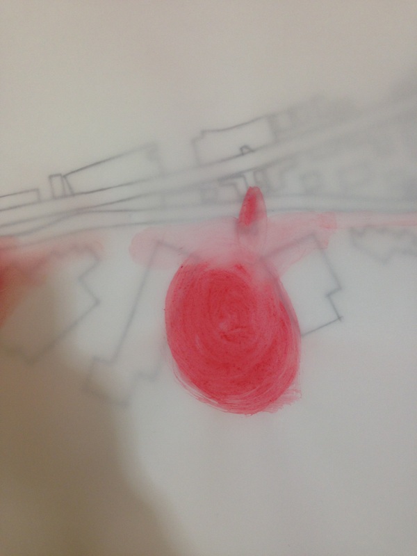
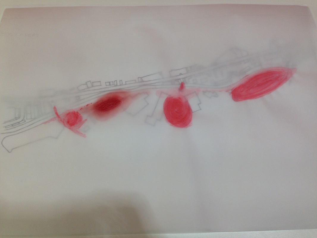
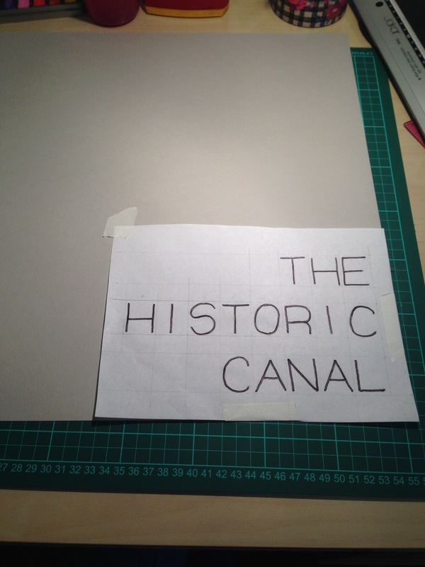
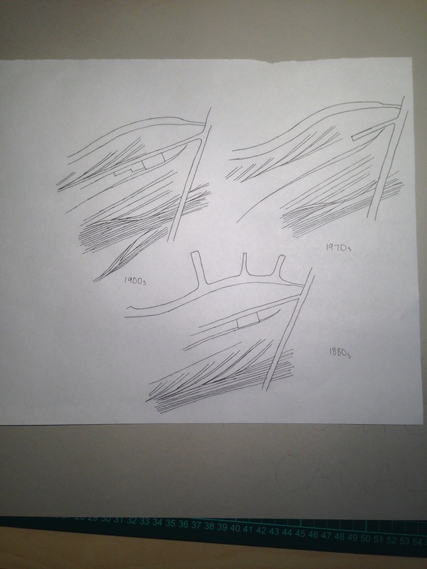
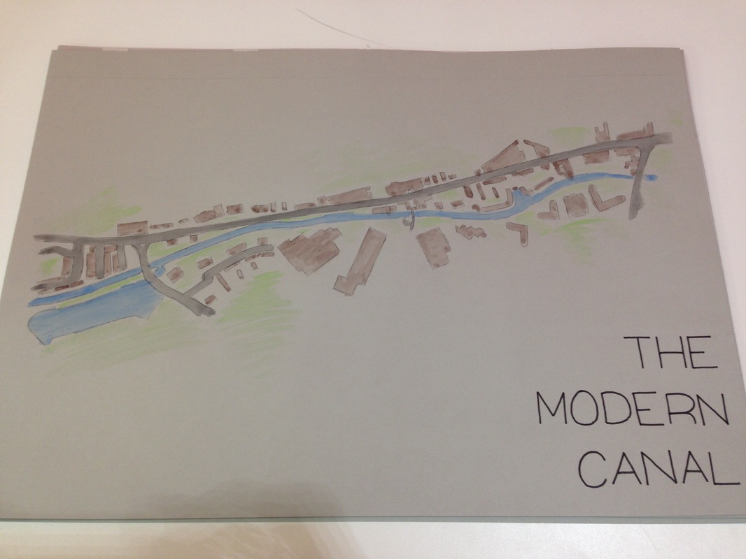
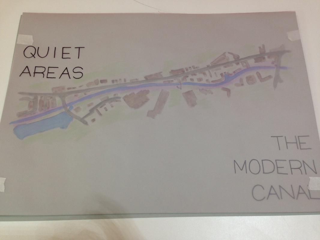
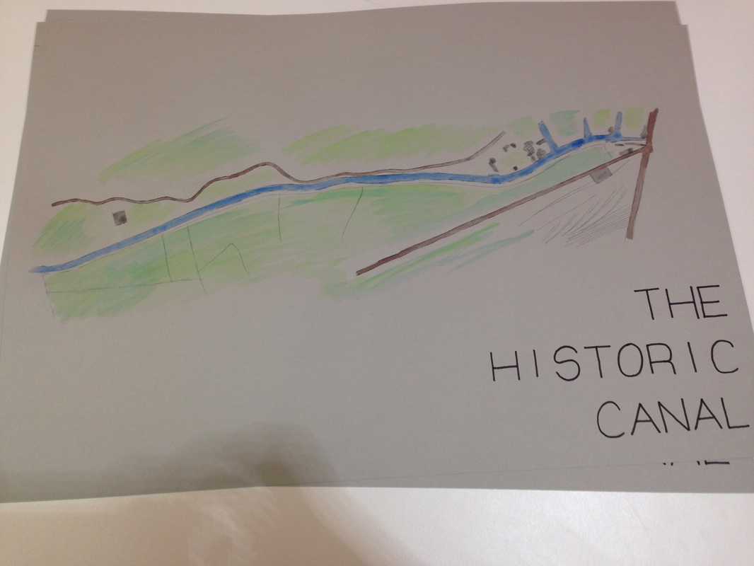
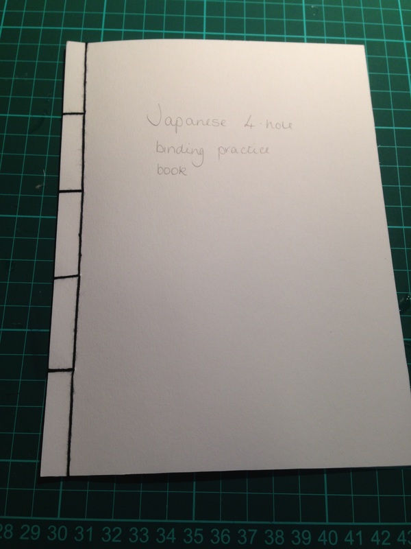
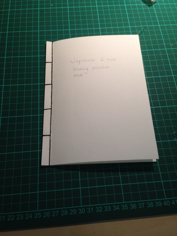
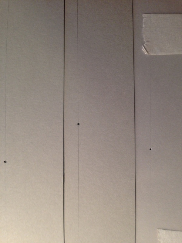
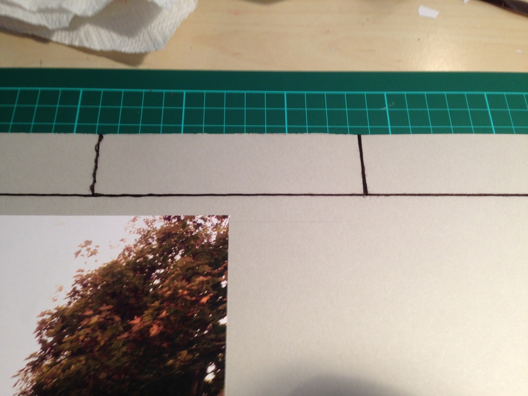
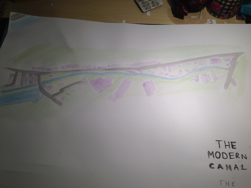
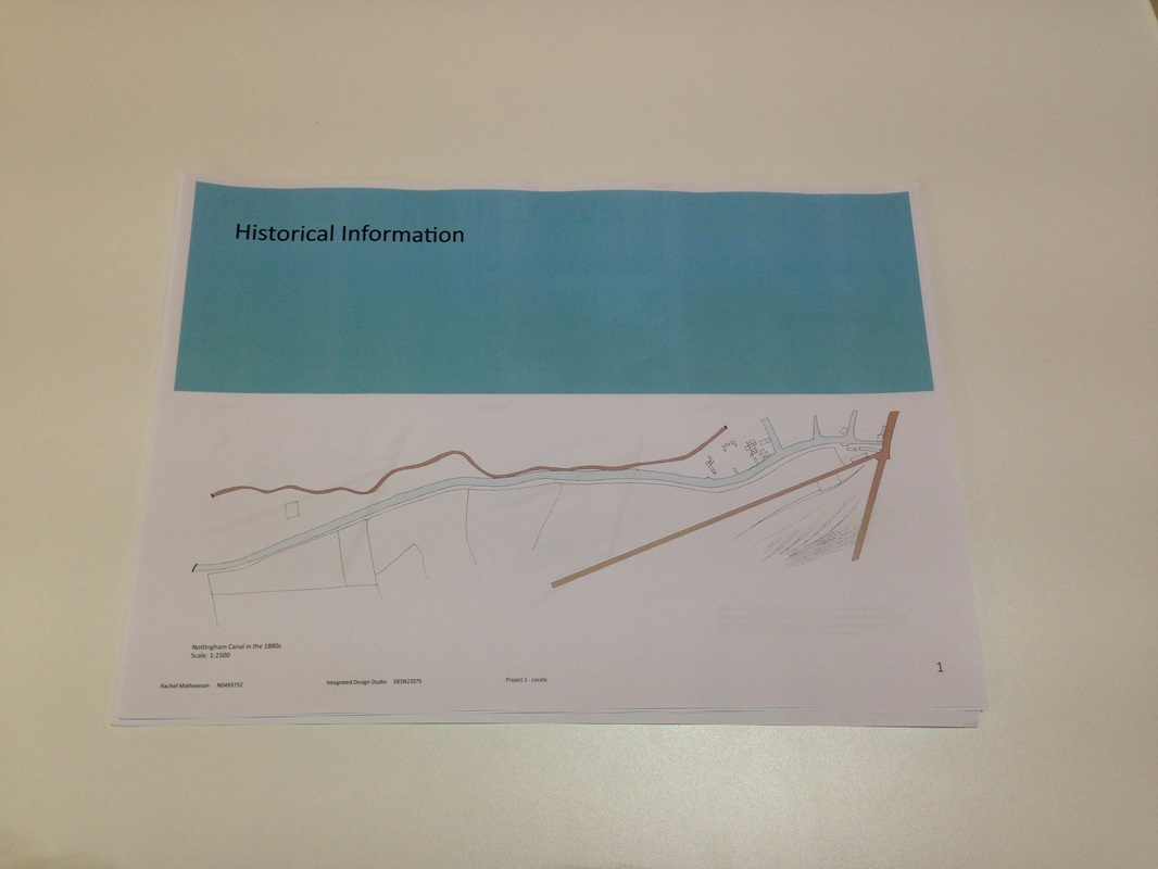
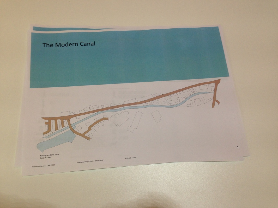
After deciding to use card and tracing paper for my book, I began to trace maps onto the pages and then paint them. I used a stencil to title the pages. I tested different media to write the titles on the pages and decided that a bold pen title would work best as it would stand out but not be too harsh. After titling the pages I analysed the information on them into short paragraphs; I used narrow columns to write on as this makes it easier to read. To bind my book I knew I wanted to use the Japanese binding technique linked on the brief, so I tested this on an A5 version with the same proportions as would be on my book. I used thread to bind my book as I thought it gave a more romantic and gentle feel to it which reflects my theme. To make my site book, I decided that I would first test out some different medias which I could use. I tested watercolour paints on card and tracing paper; the card worked well but the tracing paper wrinkled too much so I decided that I would paint my maps onto card and overlay them with tracing paper, highlighting areas with pastels. I received lots of useful feedback on my project at the review, but the main points were: - Consolidate concept/ theme and make it more obvious in the site book; my book was too formal and corporate in its decoration so it needed to reflect the calm, quiet theme that is my concept. One suggestion was to use watercolours to make it softer. - Identify busy and quiet areas of the canal and look at why the canal is quite; are there any major landmarks nearby which might attract people? - Test out different media; instead of just printing everything try hand drawing and colouring/ painting as well as different types of paper which could help to reflect the theme. - Think about the layout of the pages of the book; the canal was busier in the past so maybe make those pages busier and have more blank spaces on the modern ones. - Think about why the canal no longer is used and why people don't use it. Look for landmarks which might draw people closer to/ away from the canal. Canals became popular during the 1700s as a way of transporting goods around the country thanks to the Industrial Revolution. Nottingham Canal was built during the early 1790s and was opened in 1796. It was used to ship coal, building materials and agricultural tools around as roads were undeveloped and easily damaged by weather and constant use. The canal was 15 miles long but now only part of it remains. As the canal industry boomed a small community began to grow alongside the canal and many people would be using it daily. The barges along the canal would be pulled by horses or donkeys, with a person guiding them, which would have made the towpath very busy throughout the day. However, as the 1800s progressed, railways became more developed and a decline in the use of the canal began as people favoured rail transport for their goods. During the 1900s roads were better maintained and new surfaces were developed, meaning that they too became a viable way of transporting goods. By 1928, Nottingham Canal was disused and by the late 1930s was only used for recreation. Today it is only used by canal boats and the row path is quite and peaceful, with few people passing along it. 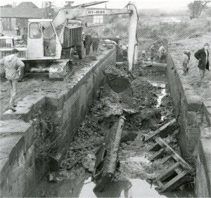 Some parts of the canal were destroyed.
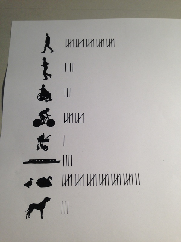
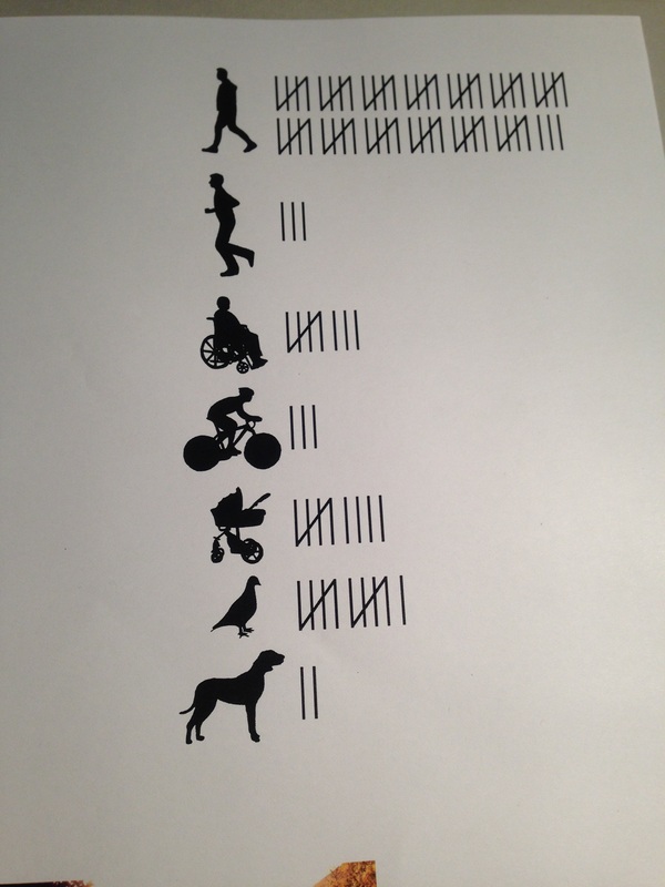
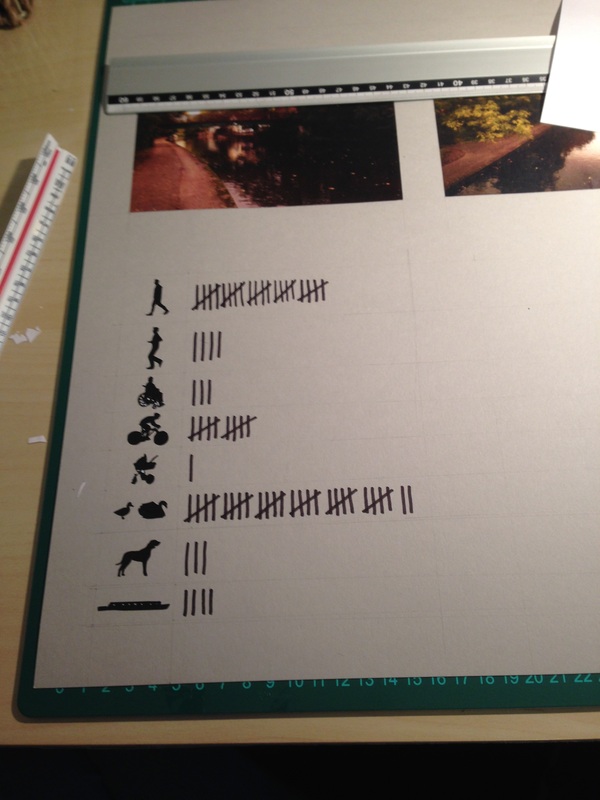
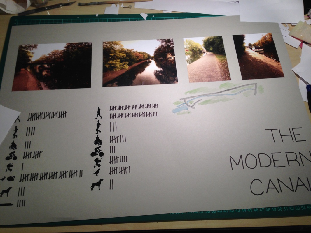
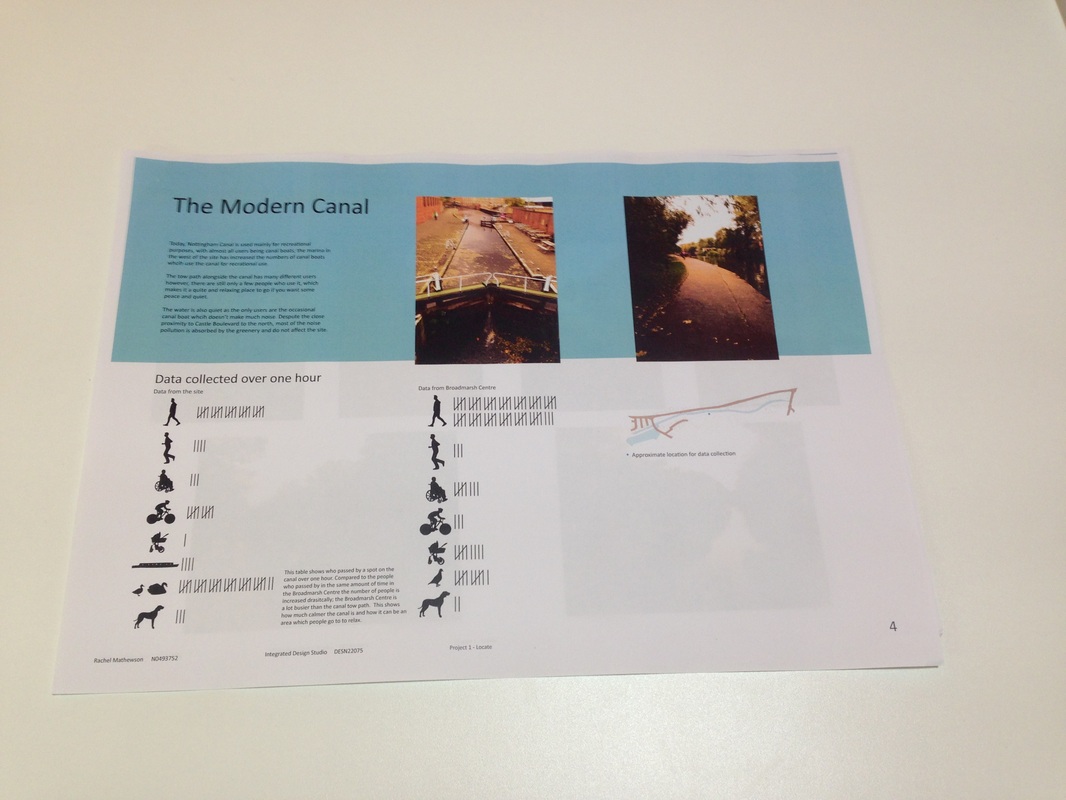
http://www.jim-shead.com/waterways/IWA%20History/GUEClangleyLock.jpg I walked along the canal from east (city centre from Wilford Road) to west (the marina). One of the main things I noticed was the amount of cyclist who use the tow path along the canal going both to and from the city centre. I visited the site at around 3:30-4:30 so it was quite close to rush hour which may have had an impact on it but some of them may just have been exercising. I think that it must be a quicker/ safer route into/ out of the city centre for many people. There were not very many people walking however, and those who were mainly turned off the path at one of the cuts through to the retail park or the HMRC buildings. Because of this, it meant that there was not very busy and there was not a lot of noise, apart from the traffic on Castle Boulevard on the other side of the canal. I found that, despite this traffic, it was a very calm and peaceful place. As you would expect on a canal, there were boats tied up, especially near the marina, but I also saw several when I first joined the canal at Wilford Road, who were moving between the lochs there. The buildings along the canal vary in size and style massively; near the city centre, lots of the buildings are old industrial buildings which have been converted to have commercial uses such as bars or restaurants. This is common of lots of the buildinings by the canal nearer to the centre of town. As you move along the canal towards the marina the buildings become more residential and are a lot more modern; they are usually set further back from the waterway than the old industrial buildings which would have used the canal for their business. This may be to prevent flash flooding damages or just because it is easier to access if it is a little bit further away. On the south side of the canal there are lots of industrial looking buildings in the retail park and also the HMRC buildings; these cannot all be seen directly from the pathway. 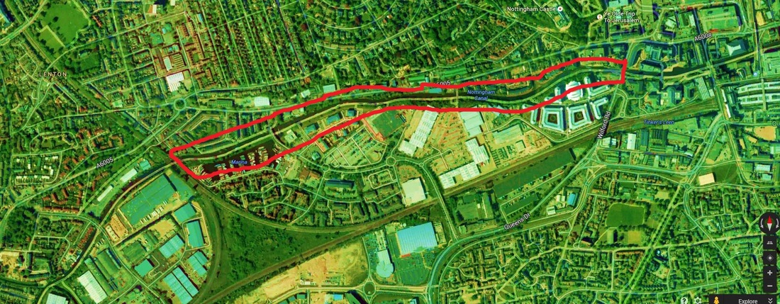 Image above taken from brief, all photographs below are my own. The photos I have taken show the emptiness and quietness of the anal, which does become more busy as you get closer to the marina (there are more boats, but only a few more people) and I haven't deliberately chosen photos with no people in them.
This first project for the Integrated Design Studio module is essentially a site analysis project, where we will get to know the site where all of out Design Studio projects will be based this year.
We need to produce: - A sketchbook containing sketches, notes, tutors comments and ideas. Use it like a diary and constantly critique and question things in it, making notes alongside any drawings and photographs. - A research blog which will contain site observations and photographs, the history of the site and surrounding area and other interesting and important information about it. - An A2 site book. This book is a 2D+ book which shows the story of the site. It will show how each person has interpreted the site and its historical and technical information. It is a model of paper which shows the site in full. - 2 x A2 panels which show the development of the book, including research, analysis, photographs of the making of the book and of the sketchbook. |
ArchivesCategories |


 RSS Feed
